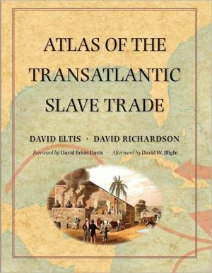
Atlas of the Transatlantic Slave Trade
Between 1501 and 1867, the transatlantic slave trade claimed an estimated 12.5 million Africans and involved almost every country with an Atlantic coastline. In this extraordinary book, two leading historians have created the first comprehensive, up-to-date atlas on this 350-year history of kidnapping and coercion. It features nearly 200 maps, especially created for the volume, that explore every detail of the African slave traffic to the New World. The atlas is based on an online database...
Search in google:
Between 1501 and 1867, the transatlantic slave trade claimed an estimated 12.5 million Africans and involved almost every country with an Atlantic coastline. In this extraordinary book, two leading historians have created the first comprehensive, up-to-date atlas on this 350-year history of kidnapping and coercion. It features nearly 200 maps, especially created for the volume, that explore every detail of the African slave traffic to the New World. The atlas is based on an online database (www.slavevoyages.org) with records on nearly 35,000 slaving voyages—roughly 80 percent of all such voyages ever made. Using maps, David Eltis and David Richardson show which nations participated in the slave trade, where the ships involved were outfitted, where the captives boarded ship, and where they were landed in the Americas, as well as the experience of the transatlantic voyage and the geographic dimensions of the eventual abolition of the traffic. Accompanying the maps are illustrations and contemporary literary selections, including poems, letters, and diary entries, intended to enhance readers’ understanding of the human story underlying the trade from its inception to its end.This groundbreaking work provides the fullest possible picture of the extent and inhumanity of one of the largest forced migrations in history.
\ Foreign Affairs"This marvelous book will change how people think of the slave trade. It deserves every accolade it is likely to get."—Nicolas van de Walle, Foreign Affairs\ — Nicolas van de Walle\ \ \ \ \ \ New York Times"A monumental chronicle of this historical tragedy, one that records some 35,000 individual slaving voyages, roughly 80 percent of those made. . . . [This book] is a human document as well as a rigorous accounting. It is filled with moving poems, photographs, letters and diary entries."-- Dwight Garner, New York Times\ \ — Dwight Garner\ \ \ \ Very Short List"One of the most ambitious books of this--or any other--publishing season: a fascinating, horrifying, beautifully put-together atlas of the transatlantic slave trade."--Very Short List\ \ \ \ \ \ Library JournalEltis (history & principal investigator for the Electronic Slave Trade Database Project, Emory Univ.) and Richardson (economic history & director, Wilberforce Inst. for the Study of Slavery and Emancipation, Univ. of Hull, England) have transformed the massive collection of data derived from nearly 35,000 transatlantic slave voyages contained at slavevoyages.org into an atlas of 189 full-color maps. These are divided into seven sections that explore various economic, logistical, and human aspects of the trade, including "Nations Transporting Slaves from Africa, 1501–1867"; "Ports Outfitting Voyages in the Transatlantic Slave Trade"; "The African Coastal Origins of Slaves and the Links Between Africa and the Atlantic World"; "The Experience of the Middle Passage"; "The Destinations of Slaves in the Americas and Their Links with the Atlantic World"; and "Abolition and Suppression of the Transatlantic Slave Trade." The interpretative text is authoritative yet suitable for general readers and accompanied by contemporary illustrations and quotations from related documents and publications representing both slavers and slaves. Statistical tables and a time line are included but, oddly, no index. Previously, James Walvin's Atlas of Slavery (Longman, 2005) was the only recent cartographic resource dealing with this subject. However, it is a more general overview of the practice worldwide and includes the 20th century in its scope. BOTTOM LINE Eltis and Richardson have produced a landmark, detailed analysis of the four-centuries-long, intercontinental dimension of the slave trade. Their atlas is highly recommended for public and academic library reference and history collections.—Edward K. Werner, St. Lucie Cty. Lib. Syst., Ft. Pierce, FL\ \


