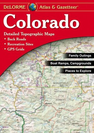
Colorado Atlas & Gazetteer
DeLorme's Atlas and Gazetteer Series is America's most popular line of recreational maps! Each atlas covers an individual state in its entirety with detailed, full-color topographic maps. Detail includes back roads, hidden lakes, boat ramps, hiking trails, campgrounds, public lands, forests, wetlands and more. And, the Gazetteer sections feature page after page of information on places to go and things to do. These atlases are year-round favorites with outdoors enthusiasts and anyone who...
Search in google:
DeLorme's Atlas and Gazetteer Series is America's most popular line of recreational maps! Each atlas covers an individual state in its entirety with detailed, full-color topographic maps. Detail includes back roads, hidden lakes, boat ramps, hiking trails, campgrounds, public lands, forests, wetlands and more. And, the Gazetteer sections feature page after page of information on places to go and things to do. These atlases are year-round favorites with outdoors enthusiasts and anyone who likes to leave the main roads behind. Booknews A new feature of the DeLorme atlases is the double page spread showing the entire state, main roads, public lands and cities, and indexed to the detail maps. These are of two scales--1" to 2.3 miles for the complex western areas, 1" to 4.6 miles for the flat eastern portion. We find a magnifying glass useful, but the small--and excellent--scribing is a fair trade-off for the expediency of an atlas covering highways, roads, ways, trails, and recreation sites. The price is a notable bargain. Fifteen states are now covered by these splendid references. 11x15.5" Annotation c. Book News, Inc., Portland, OR (booknews.com)
\ BooknewsA new feature of the DeLorme atlases is the double page spread showing the entire state, main roads, public lands and cities, and indexed to the detail maps. These are of two scales--1" to 2.3 miles for the complex western areas, 1" to 4.6 miles for the flat eastern portion. We find a magnifying glass useful, but the small--and excellent--scribing is a fair trade-off for the expediency of an atlas covering highways, roads, ways, trails, and recreation sites. The price is a notable bargain. Fifteen states are now covered by these splendid references. 11x15.5" Annotation c. Book News, Inc., Portland, OR (booknews.com)\ \
")


