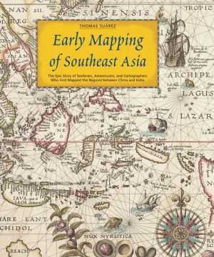
Early Mapping of Southeast Asia
Early Mapping of Southeast Asia follows the story of mapmaking, exploration and colonization in Asia from the 16th to the 19th centuries. It surveys Southeast Asia's geography and civilizations, its maps and their influence on Western worldviews, as well as the image of Southeast Asia in the eyes of its neighbors.
Search in google:
Early Mapping of Southeast Asia follows the story of mapmaking, exploration and colonization in Asia from the 16th to the 19th centuries. It surveys Southeast Asia's geography and civilizations, its maps and their influence on Western worldviews, as well as the image of Southeast Asia in the eyes of its neighbors. Library Journal Map expert Su rez (Shedding the Veil), who has served as a curator for map exhibits at the Federal Reserve Board in Washington, DC, has assembled a fascinating corpus of period maps to illustrate the use of cartography by Europeans in their exploration, interpretation, and subsequent colonization of Southeast Asia from the 16th to the 19th centuries. For the purpose of this study, Southeast Asia is defined as mainland areas east of the Ganges River, through Burma, Thailand, Indochina, and the Malay Peninsula as well as the insular region from the Nicobar and Andaman Islands in the Indian Ocean to Indonesia, the Philippines, and Taiwan. The authoritative text includes informative references to notable cartographers and explorers readily accessible through the index. Although the emphasis is on European maps, one chapter is entirely devoted to Asian maps of Southeast Asia. This unusual but handsome resource (of the 120 illustrations, 50 are reproduced in full color) is recommended for all public and academic libraries, particularly those with extensive cartographic or Asian history collections.--Edward K. Werner, St. Lucie Cty. Lib. Syst., Ft. Pierce, FL Copyright 2000 Cahners Business Information.\\
Introduction12Pt. ISoutheast AsiaCh. 1The Land and Peoples of Southeast Asia16Ch. 2Southeast Asian Maps and Geographic Thought24Ch. 3Asian Maps of Southeast Asia44Pt. IIThe Early Mediterranean and European RecordCh. 4Asia and Classical Europe60Ch. 5Medieval Europe66Ch. 6European Pioneers74Pt. IIIThe View from the Deck: Early European MapsCh. 7Europe's Quest for a Sea Route to the Indies82Ch. 8A Confusion of Peninsulas and Dragon Tails90Ch. 9Printed Maps Through 1538100Ch. 10First Maps from the Spanish Voyages 1525-1540124Ch. 11Giacomo Gastaldi's Three Models 1548-1565130Ch. 12Tangling with Terra Australis and Snared by the Linea158Ch. 131570 - ca. 1600: Diversity in a Transition to Standardization164Pt. IVCompanies and ColonizationCh. 14The Advent of the East India Companies200Ch. 15The Eighteenth and Early Nineteenth Centuries232Ch. 16The Nineteenth Century and the Mapping of the Interior252Endnotes265References272Index275
\ Library JournalMap expert Su rez (Shedding the Veil), who has served as a curator for map exhibits at the Federal Reserve Board in Washington, DC, has assembled a fascinating corpus of period maps to illustrate the use of cartography by Europeans in their exploration, interpretation, and subsequent colonization of Southeast Asia from the 16th to the 19th centuries. For the purpose of this study, Southeast Asia is defined as mainland areas east of the Ganges River, through Burma, Thailand, Indochina, and the Malay Peninsula as well as the insular region from the Nicobar and Andaman Islands in the Indian Ocean to Indonesia, the Philippines, and Taiwan. The authoritative text includes informative references to notable cartographers and explorers readily accessible through the index. Although the emphasis is on European maps, one chapter is entirely devoted to Asian maps of Southeast Asia. This unusual but handsome resource (of the 120 illustrations, 50 are reproduced in full color) is recommended for all public and academic libraries, particularly those with extensive cartographic or Asian history collections.--Edward K. Werner, St. Lucie Cty. Lib. Syst., Ft. Pierce, FL Copyright 2000 Cahners Business Information.\\\ \


