Geography Coloring Book
Wynn Kapit, the designer of the extremely popular Anatomy Coloring Book, has adapted that same coloring format to the subject of geography. This method of learning has proven to be unsurpassed in developing awareness, achieving retention, and experiencing enjoyment. This edition contains:\ \ Political maps describing the United States and all the nations of the world according to their regional grouping within a, particular continent.\ Pertinent data about each state or country, plus...
Search in google:
From the Author A memorable and enjoyable way to learn about today's world By using the same coloring format that the author used to design the famous Anatomy Coloring Book (with sales over 2 and 1/2 million) the reader is able to personally create a memorable, colored atlas of the world and the 50 states. A concise and often fascinating text accompanies the illustrations. New features in this second edition include the flags of the world shown next to their countries of origin; seven historic land empires superimposed over modern-day maps; and a comprehensive index that also serves as a dictionary and quiz.
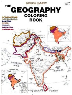
CONTINENTS 1. Continents, Oceans, and Earth Zones 2. Movement of Continents; Volcano sites, Earthquake Zones NORTH AMERICA 3. The Countries 4. The Physical Land 5. Canada and Greenland 6. United States 7. Northeastern United States 8. Southeastern United States 9. Southcentral United States 10. Northcentral United States 11. Western United States 12. Mexico and Central America 13. West Indies SOUTH AMERICA 14. The Countries 15. The Physical Land 16. Northern Countries Plus Brazil 17. Andean Countries EUROPE 18. The Countries 19. The Physical Land 20. Northern Europe 21. Western Europe 22. Northcentral Europe 23. Southeastern Europe I 24. Southeastern Europe II 25. Eastern Europe I 26. Eastern Europe II 27. Eastern Europe III and Asia ASIA 28. Th Countries 29. The Physical Land 30. Asia: Middle East I 31. Asia: Middle East II 32. Southern Asia 33. Eastern Asia 34. Southeastern Asia OCEANIA 35. Oceania I 36. Oceania II AFRICA 37. TheCountries 38. The Physical Land 39. Northern Africa 40. Western Africa 41. Africa: Central 42. Eastern Africa 43. Southern Africa POLAR REGIONS 44. The arctic, Antarctic HISTORIC LAND EMPIRES 45. Persian Empire 46. Roman Empire 47. Islamic Empire 48. Mongol Empire FLAGS OF THE WORLD 49. Introduction to flags, North America 50. West Indies, South America 51. Europe 52. Africa 53. Asia 54. Oceania WORLD THEMATIC MAPS 55. World Climate Regions 56. Annual Rainfall, Regional Temperature 57. Prevailing Winds, Major Ocean Currents 58. Natural Vegitation Regions, Major Use of Land 59. Population Distribution, Racial Distribution 60. Major Official Languages, Major Religions 61. Comparative Sizes of the Largest Nations INDEX DICTIONARY QUIZ

")
")


