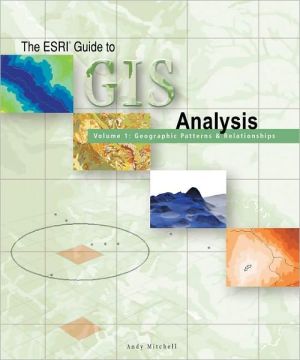
The Esri Guide to GIS Analysis: Volume 1: Geographic Patterns and Relationships
Backed by the collective knowledge and experience of the world's leading Geographic Information Systems (GIS) company, this book presents the concepts and methods that will allow users to unleash the full analytic power of their GIS. Volume I of this two-part guide shows how to map and analyze patterns and relationships. It present the most common methods for finding where things are located, what is at a particular point and what is nearby, and how far apart they are. GIS users will learn...
Search in google:
Backed by the collective knowledge and expertise of the worlds leading Geographic Information Systems company, this volume presents the concepts and methods unleashing the full analytic power of GIS.
Spatial analysis is where the GIS rubber hits the road, where all the hard work of digitizing, building a database, checking for errors, and dealing with the details of projections and coordinate systems finally pays off in results and better decisions. But spatial analysis has often seemed inaccessible to many users—too mathematical to understand, too difficult to implement, and lacking in good textbooks and guides. Here at last is the ideal book, written by Andy Mitchell and based on ESRI’s vast experience with applications of spatial analysis to a host of real problems. The book covers every area of GIS application, so readers will find examples that relate directly to their own concerns, whether they be in hydrology, transportation, or regional planning. The organization is intuitive, with sections on all of the major forms of simple spatial analysis.\ \ This book will appeal to GIS users in all areas of GIS application. It will be invaluable reading for people encountering GIS for the first time, and wanting to see where its real power lies. It will make an excellent textbook for courses in GIS in high schools, community colleges, and undergraduate programs, and as a supplement for practical work. Although, the best way to learn what GIS Analysis can do for your projects is to use it. So buy this book and begin getting results and making better decisions.\ \ In the next decade, the use of GIS analysis will grow. A new type of user will emerge—the spatial scientist. A significant number of GIS users will emerge as advanced modelers. Our goal is to help you expand your analytical GIS skills and sophistication. To do that, ESRI plans to add another book to this series covering more advanced analysis concepts and methods.
